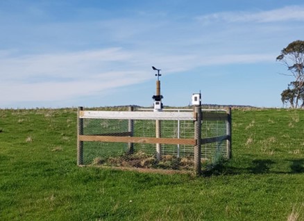
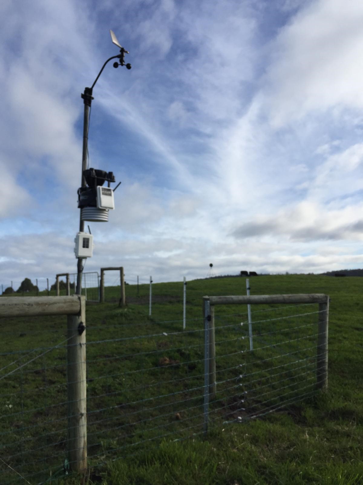
The weather stations will enable trials to show the impact of different farming practices on productivity, soil moisture and soil temperature.
The following trials have commenced:
Saltwater River - Sustainable rotational grazing vs regenerative agriculture grazing (sheep).
Koonya - Sustainable rotational grazing vs regenerative agriculture grazing (sheep and cattle).
Dunalley - dryland versus irrigated production trial (pasture)
Currently four weather stations have been installed and are operating in Premaydena (IPREMA3) Saltwater River (ISALTW2), Koonya and Dunalley.
The real time weather data can be viewed at:
https://www.wunderground.com/wundermap - currently two sites with access to real time and historical data
www.weatherlink.com/map - all four sites with access to real time data only
and the sites are also available as apps:
https://www.wunderground.com/download
weatherlink available on apple/google app store.
Rainfall and other weather information will be continually updated to build up a picture of the different patterns around the catchment and how these are changing with the impact of climate change.
| location |
year |
jan |
feb |
mar |
apr |
may |
jun |
jul |
aug |
sep |
oct |
nov |
dec |
tot |
| premaydena |
ave |
63.8 |
54.9 |
65.2 |
73.5 |
76.4 |
91.7 |
86.4 |
85.0 |
64.6 |
79.4 |
68.2 |
74.8 |
883.9 |
| |
2021 |
|
|
|
|
|
|
|
16.5 |
43.9 |
112.8 |
96.0 |
29.2 |
|
| |
2022 |
56.9 |
7.4 |
30.5 |
19.3 |
80.5 |
69.1 |
54.6 |
100.3 |
78.2 |
49.5 |
50.3 |
71.9 |
668.5
|
| |
2023 |
15.5 |
67.3 |
27.7 |
64.5 |
58.7 |
60.0 |
13.7 |
13.7 |
11.4 |
|
|
|
|
| saltwater river |
ave |
63.8 |
54.9 |
65.2 |
73.5 |
76.4 |
91.7 |
86.4 |
85.0 |
64.6 |
79.4 |
68.2 |
74.8 |
883.9 |
| |
2022 |
56.2 |
6.2 |
33.6 |
21.6 |
86.4 |
85.4 |
45.6 |
57.8 |
71.8 |
68.1 |
97.5 |
82.5 |
712.7 |
| |
2023 |
17.3 |
52.3 |
30.8 |
72.7 |
32.3 |
23.6 |
17.0 |
19.3 |
18.5 |
|
|
|
|
The data from the weather stations is also being incorporated into NRE's model of air temperature, rainfall and growing days that is published on LISTmap:
LISTmap real time air temp / rainfall / growing days